CENTRAL ANWR TRAVERSE - JUNE 2015
Arctic National Wildlife Refuge
The Marsh Fork of the Canning River to the Hulahula River: 114 miles; 12 days - June 6-17, 2015

Following the immense success of our 2014 Traverse of the western portion of the Arctic National Wildlife Refuge, long-time clients Mark and Joan Strobel were eager to continue the route westward from the Hulahula River and see more of what is referred to locally as simply "The Refuge". Dan, my boss at Alaska Alpine Adventures, of course wanted to continue the route and I compromised my pay rate and nagged him sufficiently to ensure my spot on the trip as well.
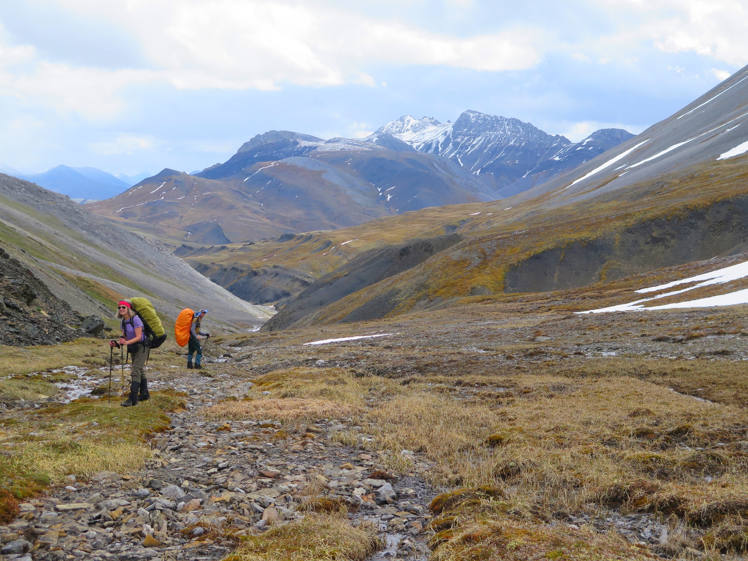
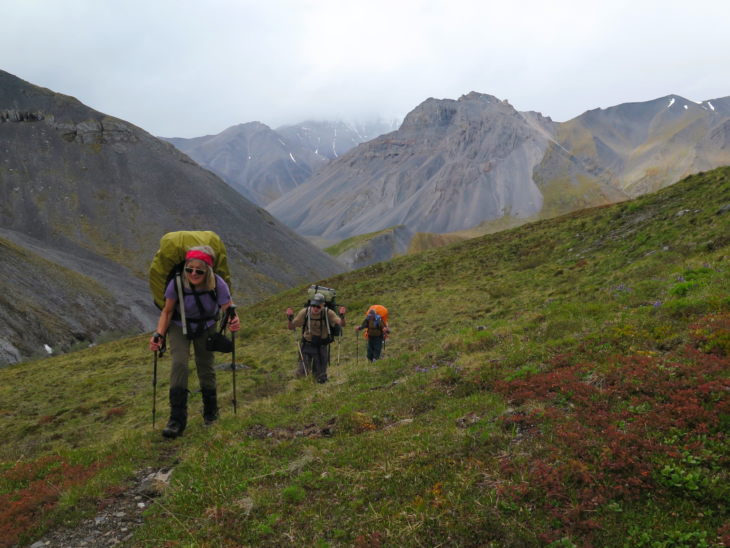
So, June 5th, saw Dan and I making the six hour drive (well, I drove, Dan slept, because hierarchy) north to Fairbanks to meet Mark and Joan and begin another great arctic trip. We met Mark and Joan at the airport in Fairbanks and returned to our hotel. Client orientations with the Strobels are super casual. We drank beer, ate cheeseburgers, gave Mark and Joan some toilet paper, a fuel canister and a stuff sack each of food. After 13 trips with Alaska Alpine Adventures, there is no need for an explanation of how to poop in the wilderness, what to do if a bear walks into camp, which water sources are safe to drink from or how to operate a satellite phone in an emergency. While I get a lot of pleasure out of teaching a wilderness-newbie how to operate in the backcountry, it is really cool to travel with clients who are so experienced and savvy. Plus, the Strobels appreciate how much pack weights can affect the enjoyability of a trip and are therefore supportive of us bringing food that is less exciting, but lighter weight. Dinners are still delicious, diverse affairs, but we skip lunch and breakfast is simple granola. Consequently, I started this trip with my lightest pack of the year, a mere 71 pounds!

71 pounds and still smiling. Photo by Mark Strobel.
The following morning we flew from Fairbanks to the small, seasonal community of Coldfoot. Located roughly halfway between Fairbanks and Prudoe Bay on the north-south Dalton Highway, Coldfoot is a summer jumping off point for backcountry travelers heading into Gates of the Arctic National Park and the Arctic National Wildlife Refuge. If you haven't been to Coldfoot, I can't say I'd recommend it; it is a muddy congregation of semis headed to or from the oil fields of Prudoe Bay and a cup of shitty drip coffee will cost you $3.00. Coldfoot's redeeming qualities are that despite being on the haul road, it is situated in a really beautiful spot in a broad pass of the Brooks Range and there is a ridiculously nice interagency Visitor Center with tons of great info on the arctic generally and ANWR and Gates of the Arctic, specifically. But the best thing about Coldfoot is Coyote Air. Dirk Nickisch and Danielle Tirrell run a really great air taxi out of Coldfoot and are an amazing resource for information about backcountry travel in, and the history of, the Refuge.
We were Dirk's first summer flight of the year into ANWR. He had been checking the weather all morning and things were not looking good. Low clouds were stacked up in the mountains from the Canadian border all the way to the Hulahula. We waited around for a few hours hoping the weather would improve. As the day wore on and we ran out of things to do in Coldfoot (ie I had read every single informational plaque in the Visitor Center and Mark had taken three naps) we reevaluated our options. Instead of pitching our tents in Coldfoot for the night and hoping for better weather the next day, we decided to reverse our route and start at the Marsh Fork of the Canning River (where the weather was looking better) and work the route in reverse (moving east instead of west) and concluding at the Hulahula. So at five o'clock in the afternoon we hoped in Dirk's DeHavilland Beaver and headed northeast, we were finally headed into the backcountry!


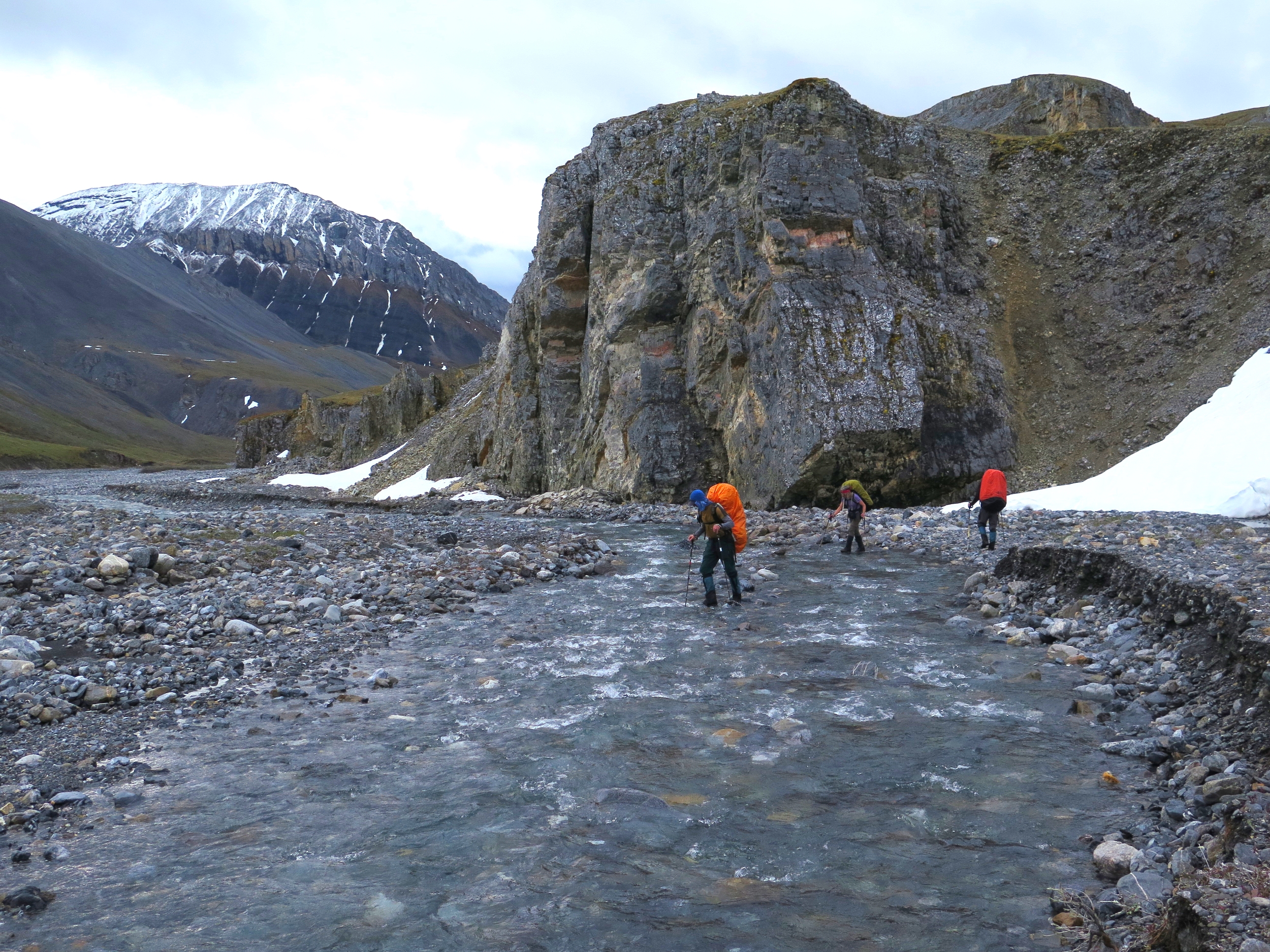
The plane landed on the tundra bench to the east of the Marsh Fork of the Canning River an hour and a half later. In 2012 Dan and I took five National Wildlife Federation donors down this river, trying to highlight the importance of the Refuge. That was my first time in ANWR and now, four years, several guided trips and a general love affair with the arctic later, I was back on the bank of the Marsh Fork. Despite the late start and drizzly conditions we decided not to make camp at the airstrip, but continue up river, capitalizing on the endless arctic daylight. We made it a surprising six miles up river, despite getting cliffed out on river left and having to backtrack and enduring one of the coldest river crossings any of us could remember. We didn't crawl into our sleeping bags until after 12:30 a.m., and of course it was still fully light. Got to love that arctic summer light!

Thanks for the ride Dirk!
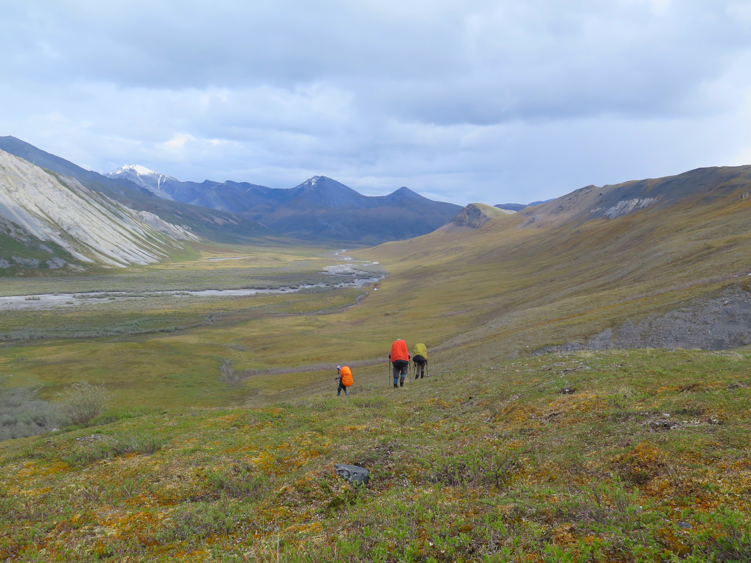
Our first full day in the wilderness dawned arctic-sunny. After breaking camp we continued up the Marsh Fork, branching off on an eastern tributary. We were headed for a low mountain pass that would drop us into Water Creek. After over ten miles and 2000 feet of elevation gain, we reached the pass and enjoyed the perpetual evening light and beautiful views in both directions. A classic day of arctic travel gave us easy tundra walking, numerous creek crossings, sunshine, sleet, rain and then sunshine again. This weather pattern would persist for the remainder of the trip. While we never set or broke camp in the rain, a huge Alaskan backcountry win in my book, we did enjoy numerous rain showers, a bit of hail and a couple snow storms over the next 10 days.

Our third and fourth days of travel were spent descending Water Creek and ascending Cane Creek. Water Creek boasted incredibly flat stretches of tundra large enough to land a Super Cub! The tributary of Cane Creek we descended was similarly wide before plunging through a tight canyon to empty into the main branch of Cane Creek. Thankfully, low water meant we were able to walk right through the gut of the canyon skipping from rock to rock before emerging in the much larger drainage of Cane Creek. On day three we also finally encountered wildlife. We saw a lone, limping male caribou, several Dall's Sheep and a wayward porcupine. I had recently read Bill Sherwonit's book Animal Stories, in which we recounts his own encounter with a porcupine in the arctic and the Koyukon belief that "the power of the porcupine is to know the land". Once yearly, they embark on a "walkabout, learning more about the lay of the land". I love the idea that the porcupine we saw, high in an arctic alpine valley and many days travel away from his typically boreal food source, was on a mapping expedition of the less visited corners of the arctic!
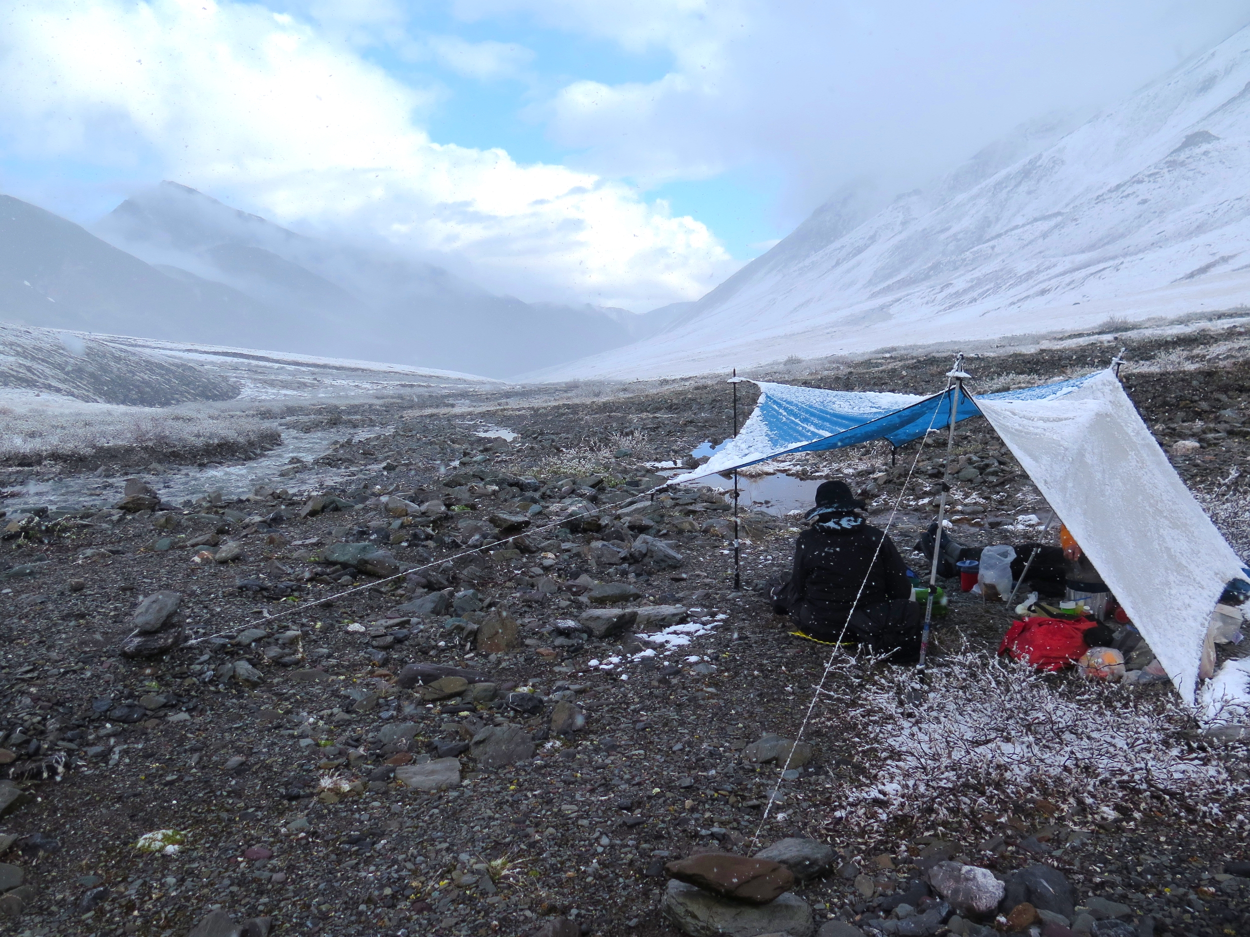
Our intended route included a crossing of the Continental Divide at the head of Cane Creek. On the fourth night of the traverse, after a long, slogging eleven plus miles, we camped in a beautiful canyon a few miles and a couple thousand feet below the pass. What lay before us, which looked difficult in any conditions, was covered in a thick blanket of winter snow. Furthermore, the most harrowing part of the route would be the side hill and descent of the pass on the north side, which we was not visible from our vantage point. We sat under the tarp debating late into the evening whether we should go for the pass or abandon the intended route. Dan and I checked our maps for alternative options. I utilized the digital maps on my Gaia GPS app to help Dan develop an alternative route around the south side of the divide, crossing into the Hulahula drainage further east than we had originally intended. We decided to wait until the morning to decide for certain, but our tentative plan b would take us literally off the (paper) map. Mark and Joan, as always, were game for the adventure. In the end, the decision to go with the alternative route was made for us. We woke up to both tents and tundra coated in a few inches of arctic summer snow.


Thus on our fifth day of the traverse we suddenly found ourselves with a new route and a new direction. Instead of heading north over the crest of the Brooks Range, we traveled east, staying on the south side of the continental divide. We hiked up a stair-stepped tundra bench to the east of Cane Creek to gain a double pass, two saddles divided by a beautiful south facing valley. We played hide-and-seek with a Dall's Sheep Ram as we descended a tight gorge, found evidence of a wolf or grizzly-killed caribou, and soon emerged in Red Sheep Valley. The valley was wide and expansive with great views in all directions. We camped near the confluence of two forks of Red Sheep Creek and although we endured the most mosquitos of the trip, an evening of bright sunshine helped to melt away the memory of the morning's snow.
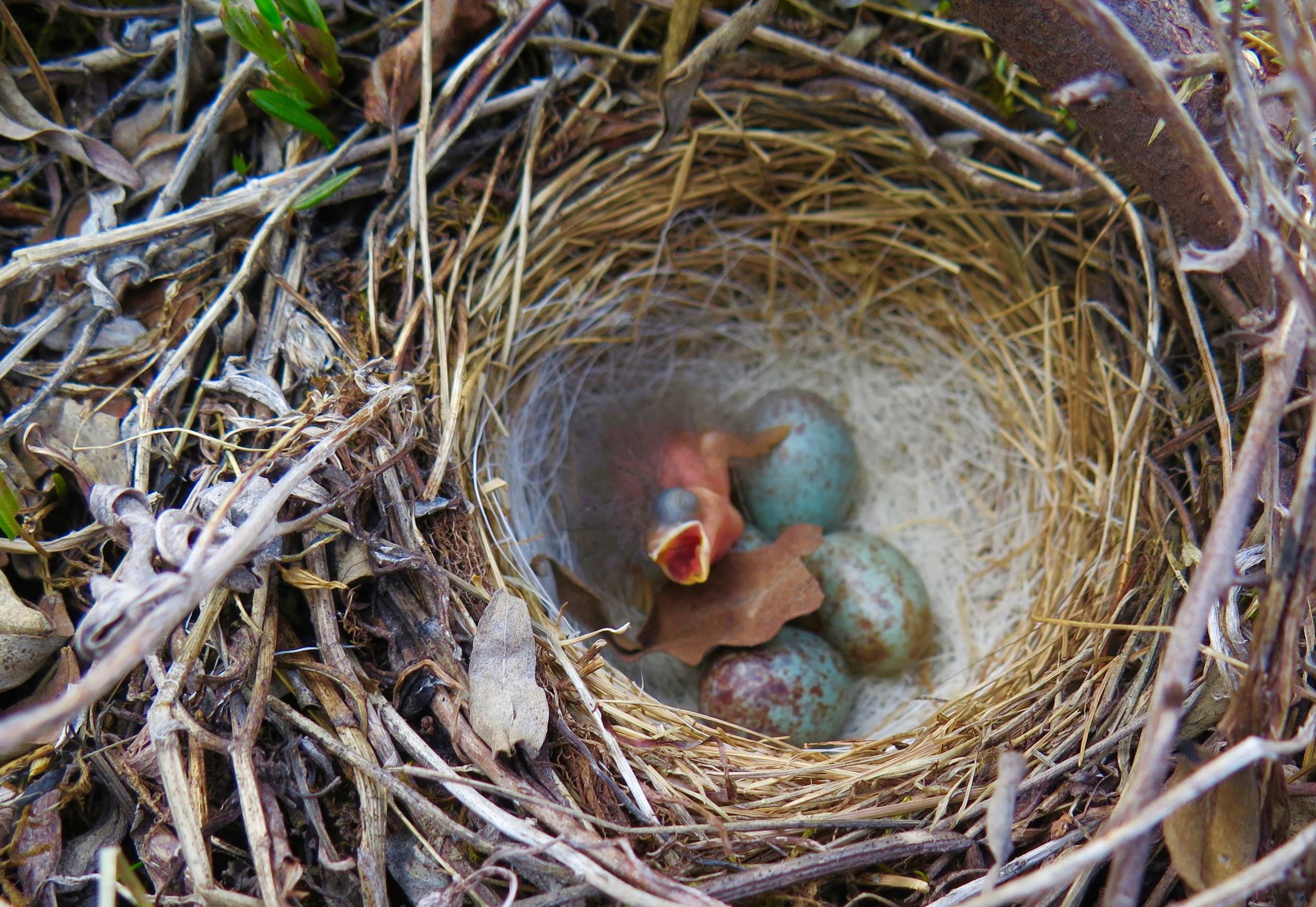
The sunshine continued unabated through the night and we began our sixth day with a sunny breakfast along the edge of glittering Sheep Creek. As we ascended Sheep Creek headed for our next pass, we endured tussocks but were treated to surprise sightings of newly hatched sparrows, nestled in tiny nests in the tundra! We made our next campsite just in time to set up tents and tarp before another arctic snow storm swept through.
I think the seventh day of the Traverse was a favorite for many of us. Even though we awoke to a freezing, snowy camp, we were soon hiking in the sunshine on us as we climbed to yet another pass. At the 5800' pass we dropped packs and scrambled up the 6400' peak to the south along the ridge. The views from the pass and the peak were some of the best of the whole trip thanks to the unique purple rocks all around us!

After our impromptu summit, we headed down into what we had named Maroon Creek in honor of the uniquely colored limestone. Maroon creek was a bit brushy, but mild by Alaskan standards. We made camp at a fork in Maroon Creek after a mere eight and a half miles and rested up in preparation for a potentially strenuous pass crossing the next day which would finally take us across the continental divide.
The next morning dawned warm and sunny. And after the brush of the late afternoon before, the walking up Maroon Creek was surprisingly pleasant! We eventually entered a tight limestone canyon, filled with broken rock and winter snow. Fortunately, our guess that this canyon and the pass above it was navigable turned out to be correct and the many caribou tracks at the top of the pass indicated that we were not the first animals to think of going this way. We were treated to a fun, snow glissade down the north side of the pass to drop us into the Itkillik valley just west of Guilbeau Pass, a much more popular travel corridor in this region. The camping along the Itkillik was incredible and we were lucky enough to lounge in the sunshine once we arrived!


Suddenly on the morning of our ninth day we found ourselves only 15 miles from our intended destination, the airstrip along the Hulahula, with four days left in our trip. Consequently we spent that day summiting a 7000' peak across from our camp and then embarking on another day hike up to Guilbeau pass under the midnight sun, after a sunny dinner break at camp. The following morning we started heading down the Itkillik drainage, made a quick camp along its bank, and then headed back into the highcountry for a final day hike. We really wanted one more high, alpine vantage point before the trip was over. Our time on the ridge line was limited as a wickedly cold wind blew in from the Beaufort Sea, but the views were sensational.


Our final day of travel was spent heading down the Itkillick to its confluence with the Hulahula and then on to the airstrip on the western bank of the Hulahula River. Along the way we spotted our first humans of the trip! They seemed a bit baffled about navigating the crossing of the Itkillik, or maybe they were just camping there, either way we never found out since we didn't stop to chat. I feel pretty fortunate that there are still lots of places in Alaska where a person can walk for over 100 miles and 12 days and see only two other people (or none, as was the case during our 2014 Traverse).
Our final night in the wilderness, we set up our tents at the airstrip on the Hulahula, in exactly the same spot we had camped one year prior after completing our trip from the Kongakut to the Hulahula. It is neat to think that, as a group, we have explored over 200 miles of the Arctic National Wildlife Refuge and have barely scratched the surface of what it has to offer!

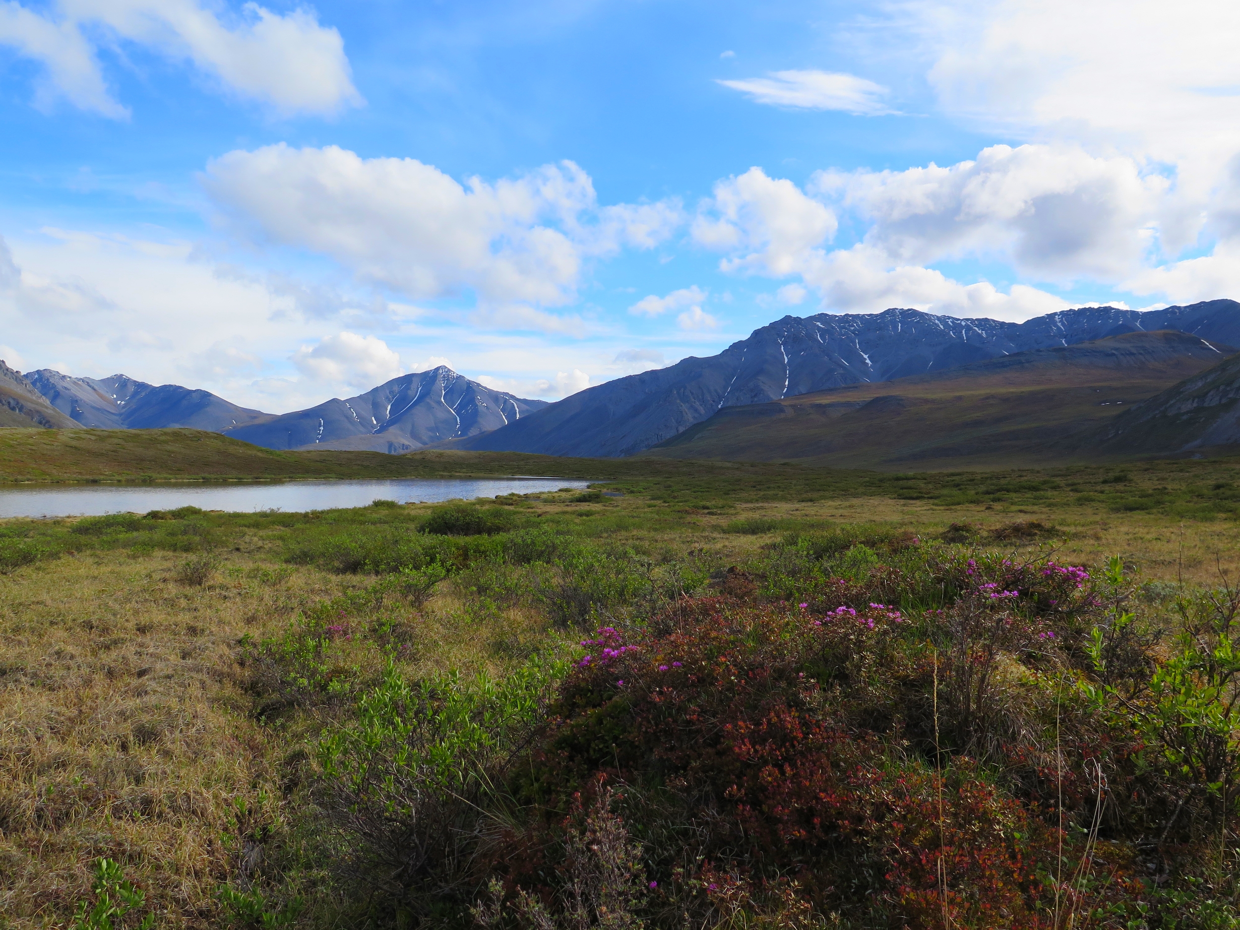
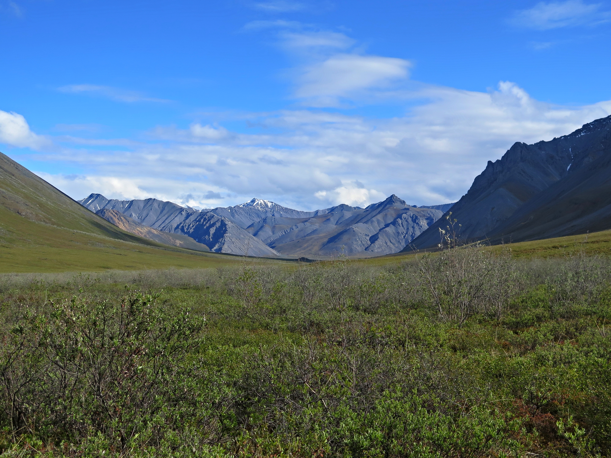
The beautiful Hulahula River valley
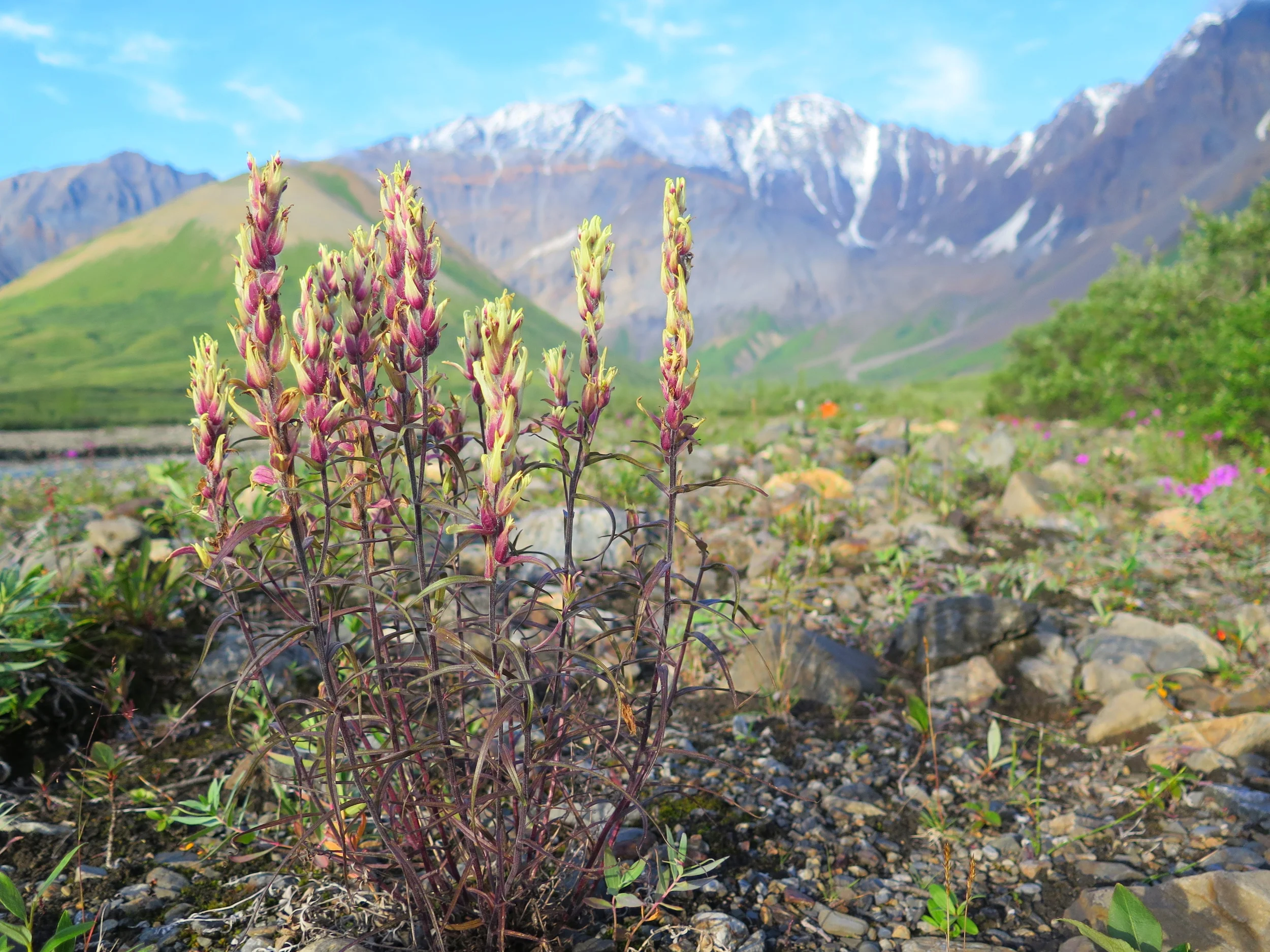
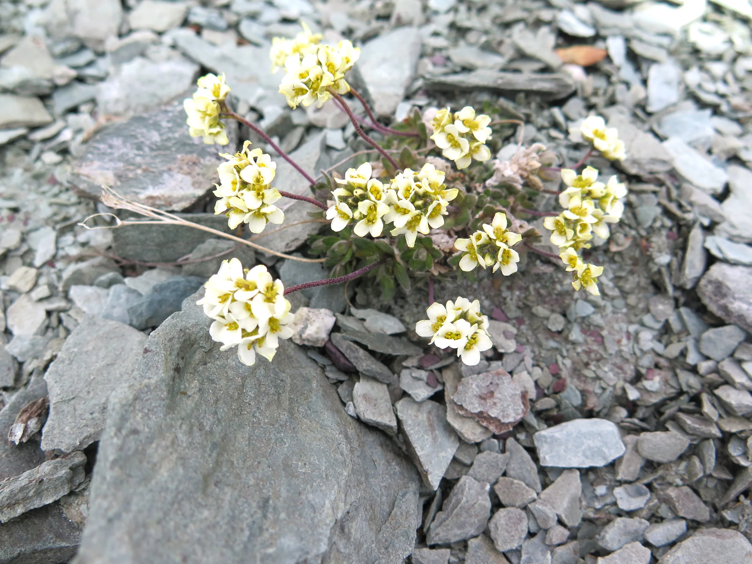
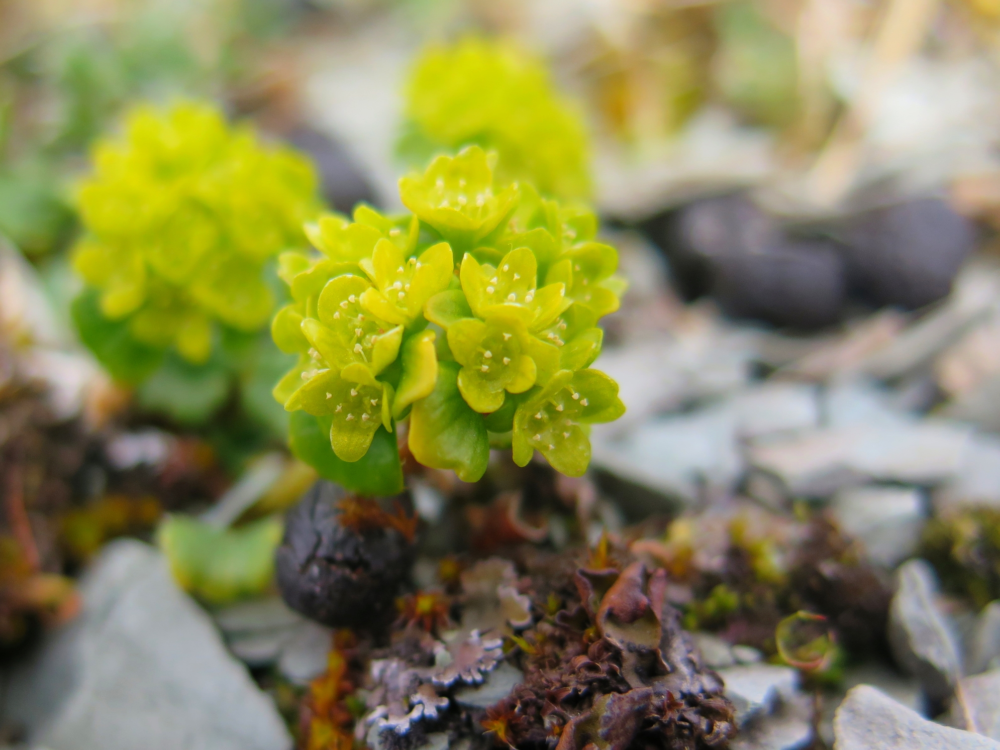
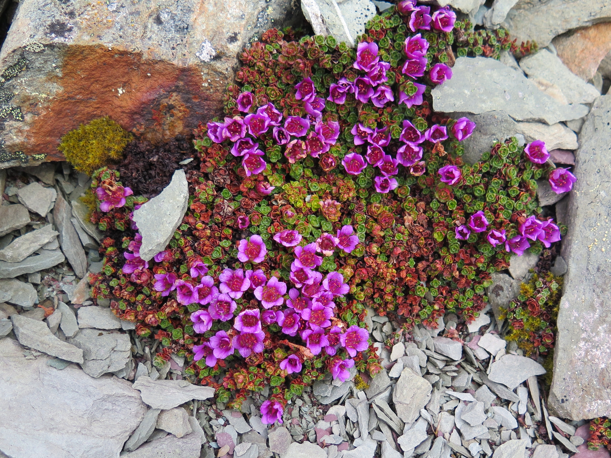
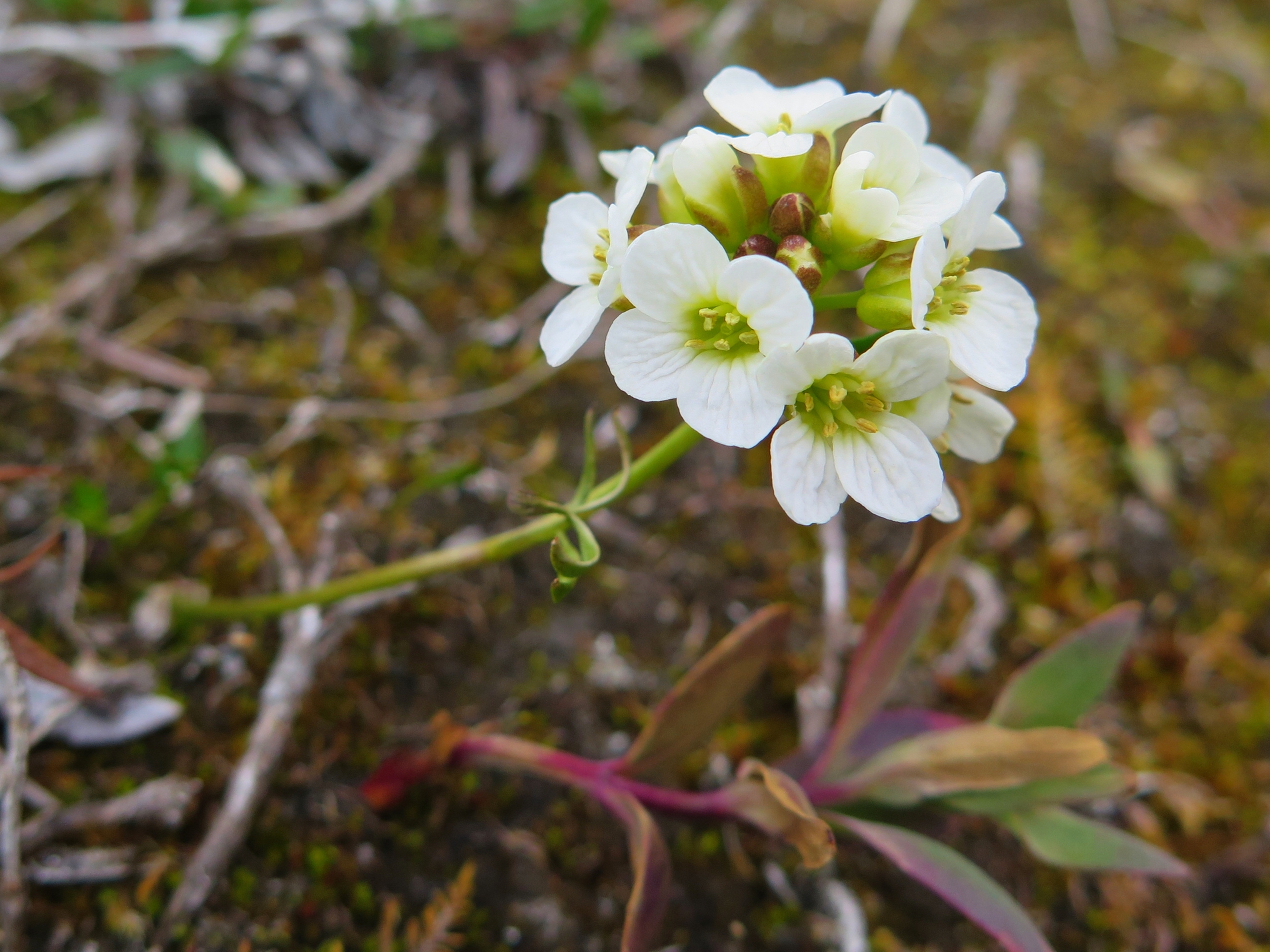
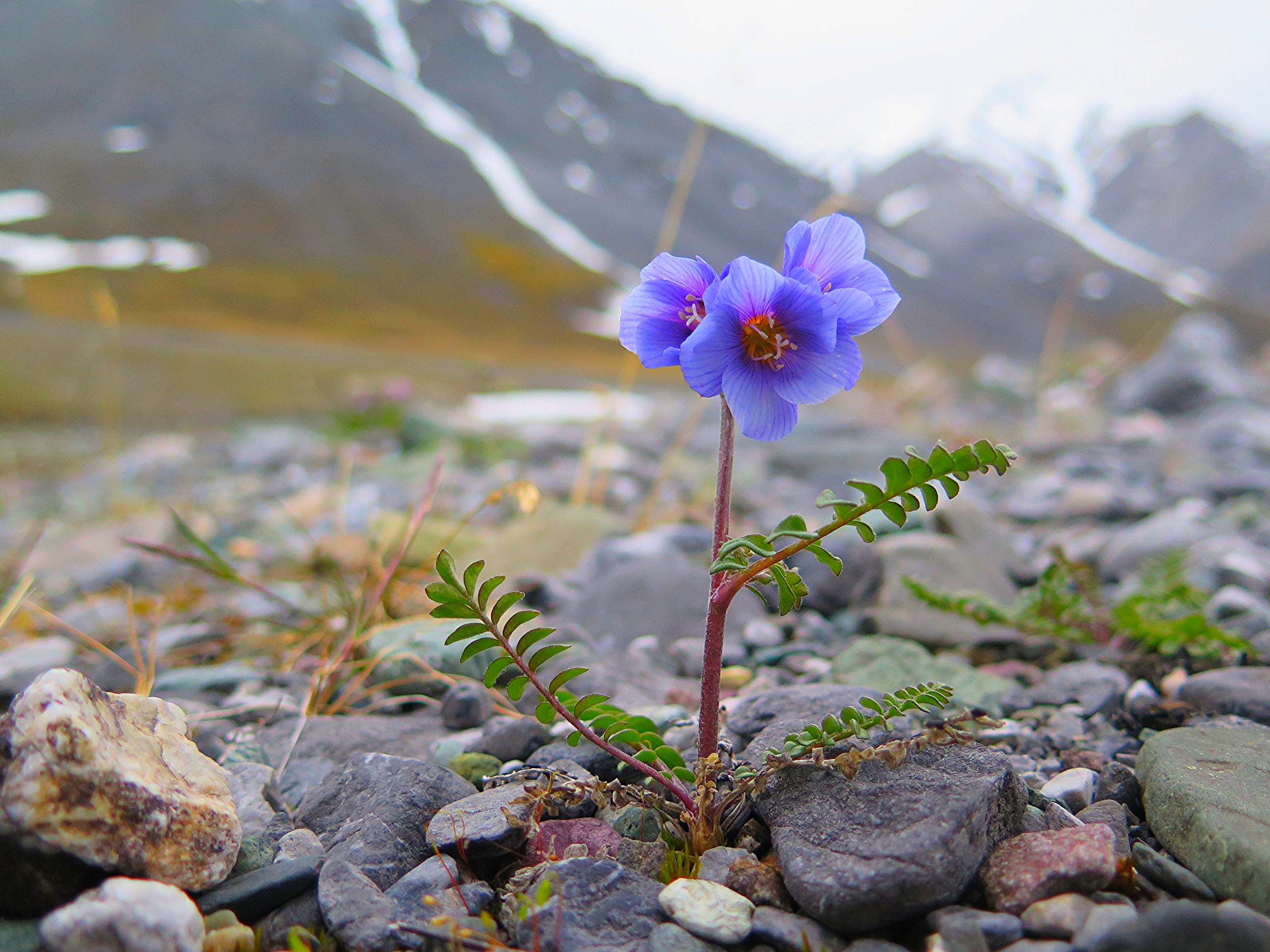
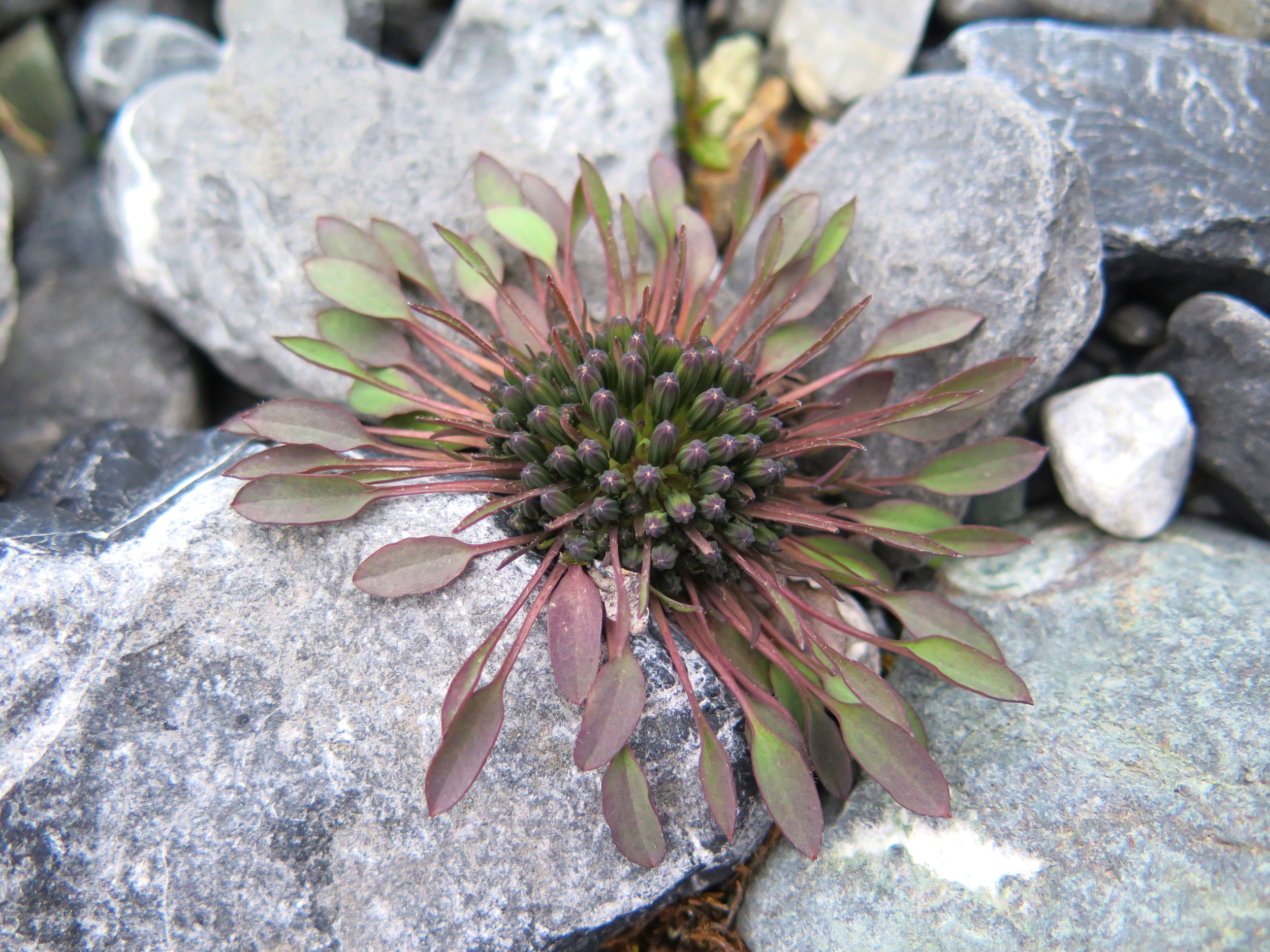
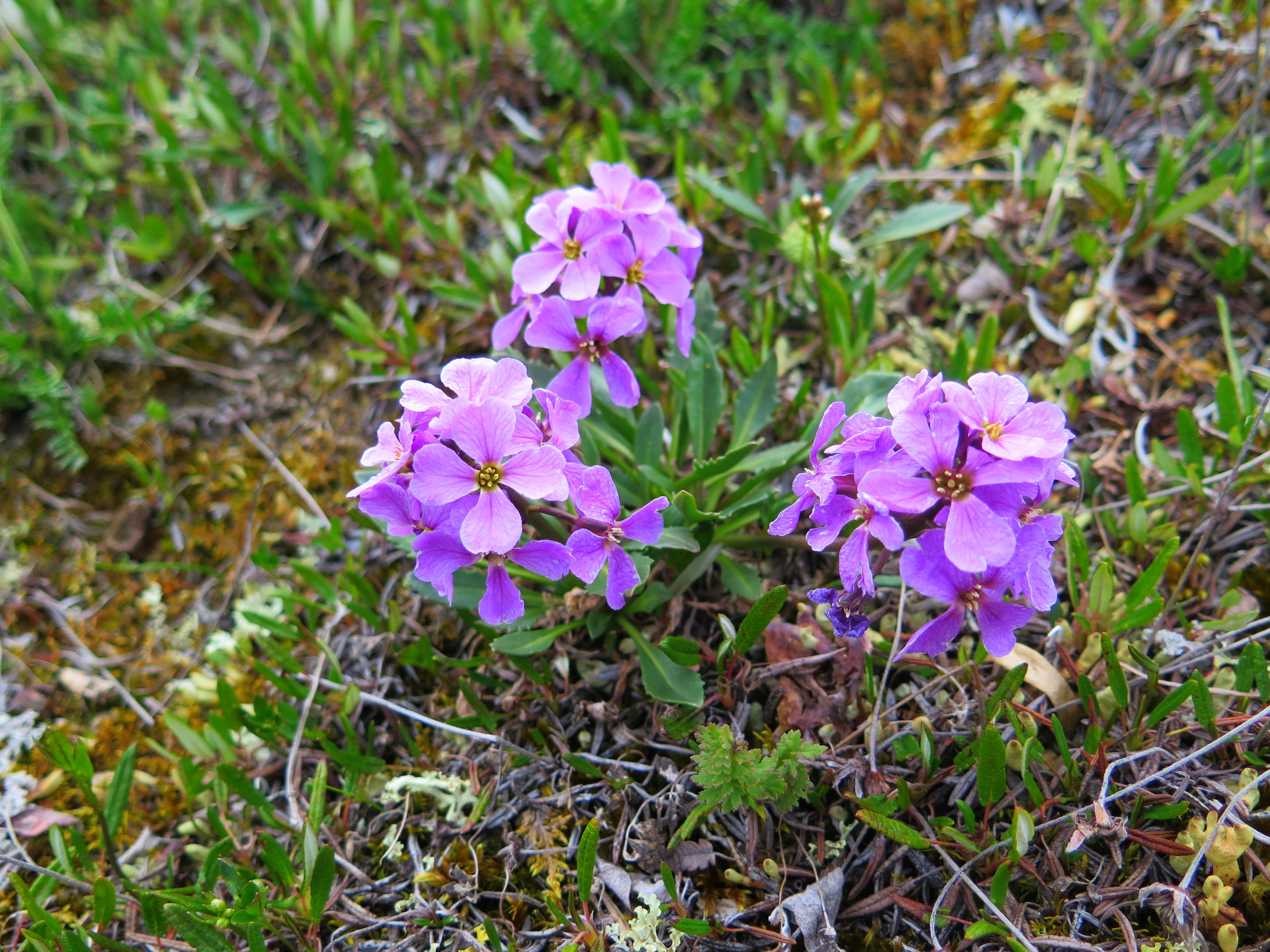
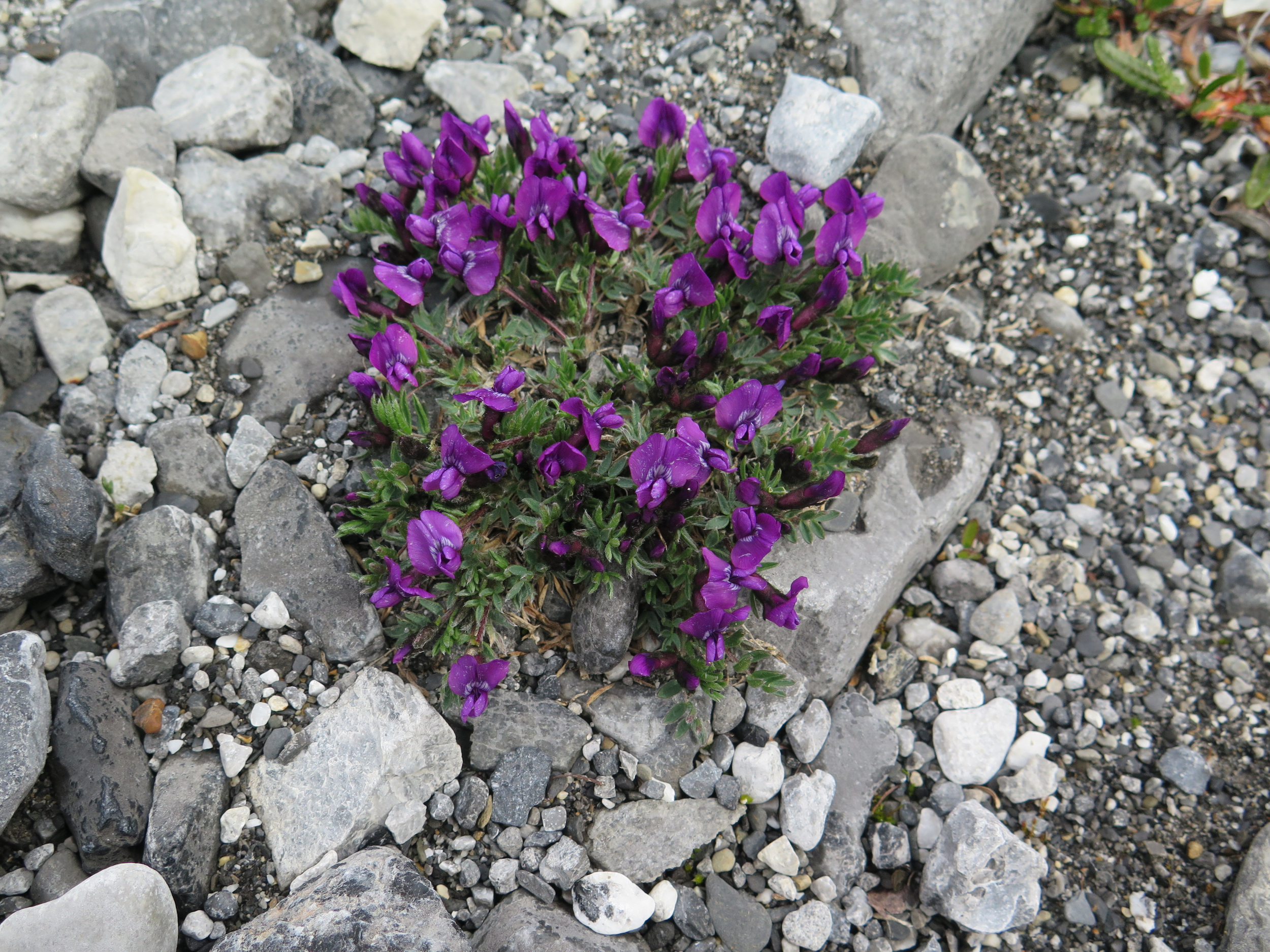
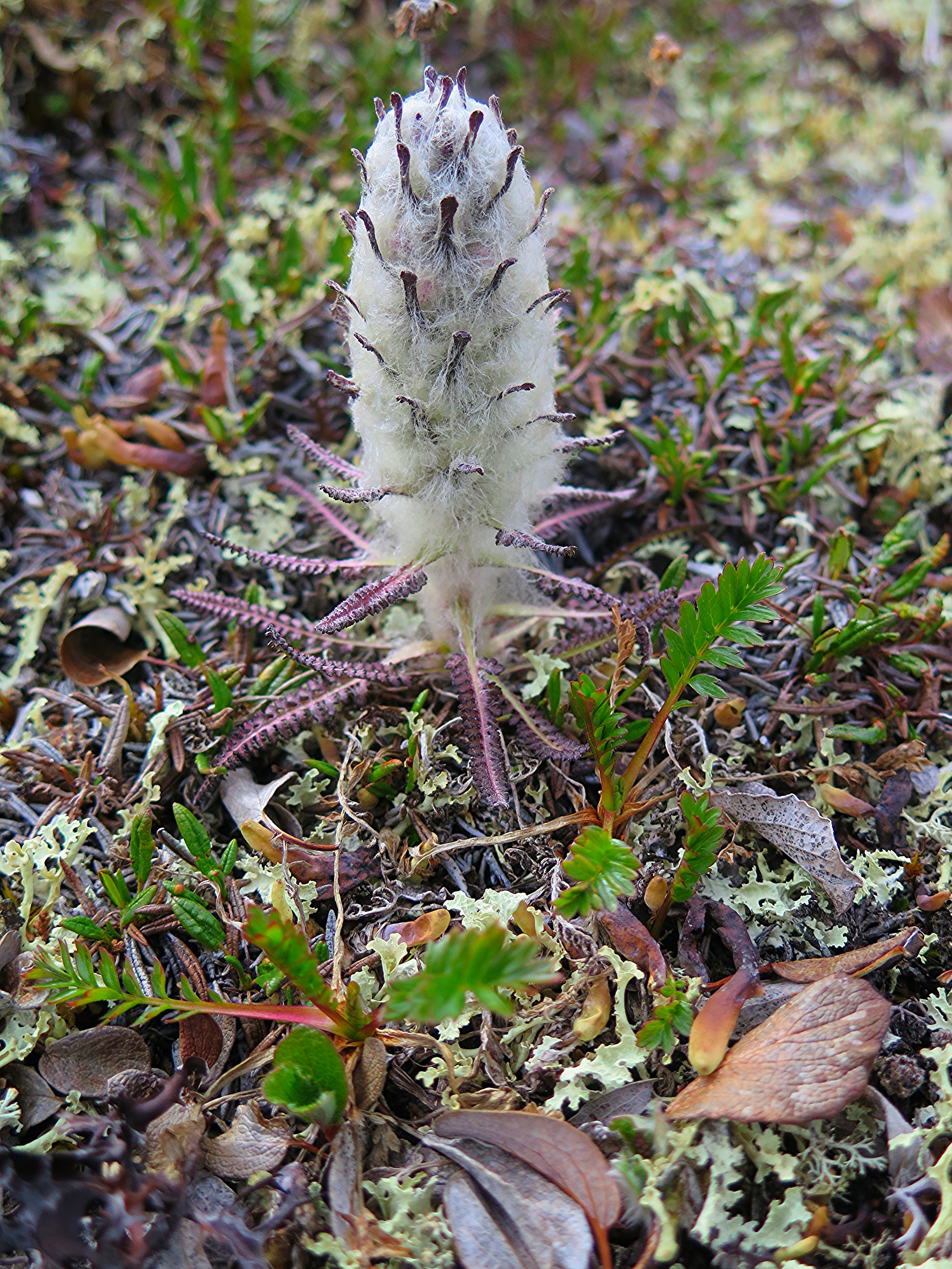
On our final day we awoke to pleasant weather and the relief, tinged with a healthy amount of disappointment, that the airplanes would be able to fly today and pick us up. Joan and I spent some time searching for wildflowers along the river, something we've enjoyed doing together for the past two years now. And then we heard the buzz of the Cessna 206s as they arrived to take us home.
By that evening we were showered, semi-respectable looking, and eating an inordinate amount of calories at a nice restaurant in Fairbanks. After our celebratory dinner, Dan and I hit the road for Anchorage. Just like that our journey was over, but man was it a good one. I am so grateful to Mark and Joan for going on their thirteenth(!!!) trip with Alaska Alpine Adventures and to Dan for inviting me to join him in guiding the trip. I can't wait to get back to the arctic!